Bangalore Interstate Bus Routes
2014 / Data Visualization / A1 Print
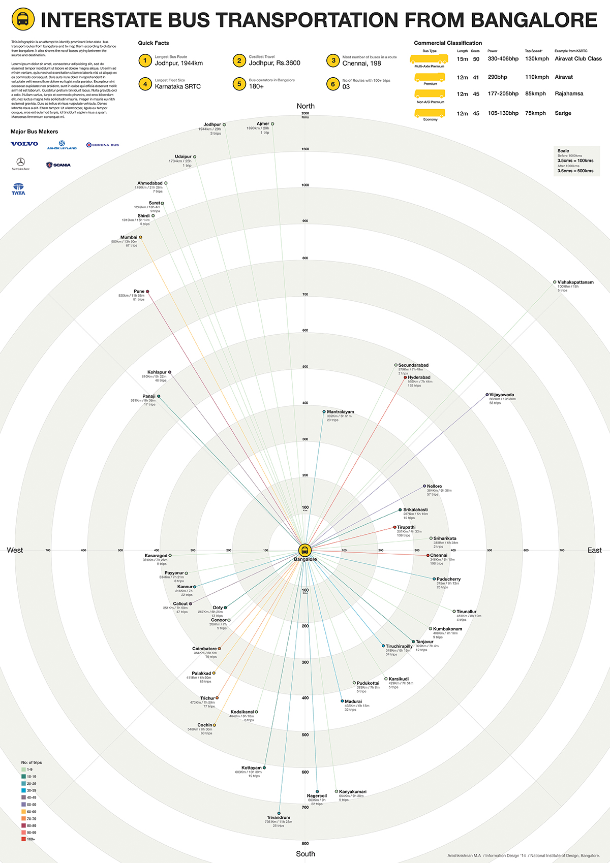
This infographic is an attempt to identify prominent inter-state bus transport routes from Bangalore and to map them according to the distance from Bangalore. It also shows the no: of trips between the source and destination.
Process
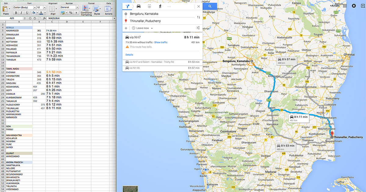
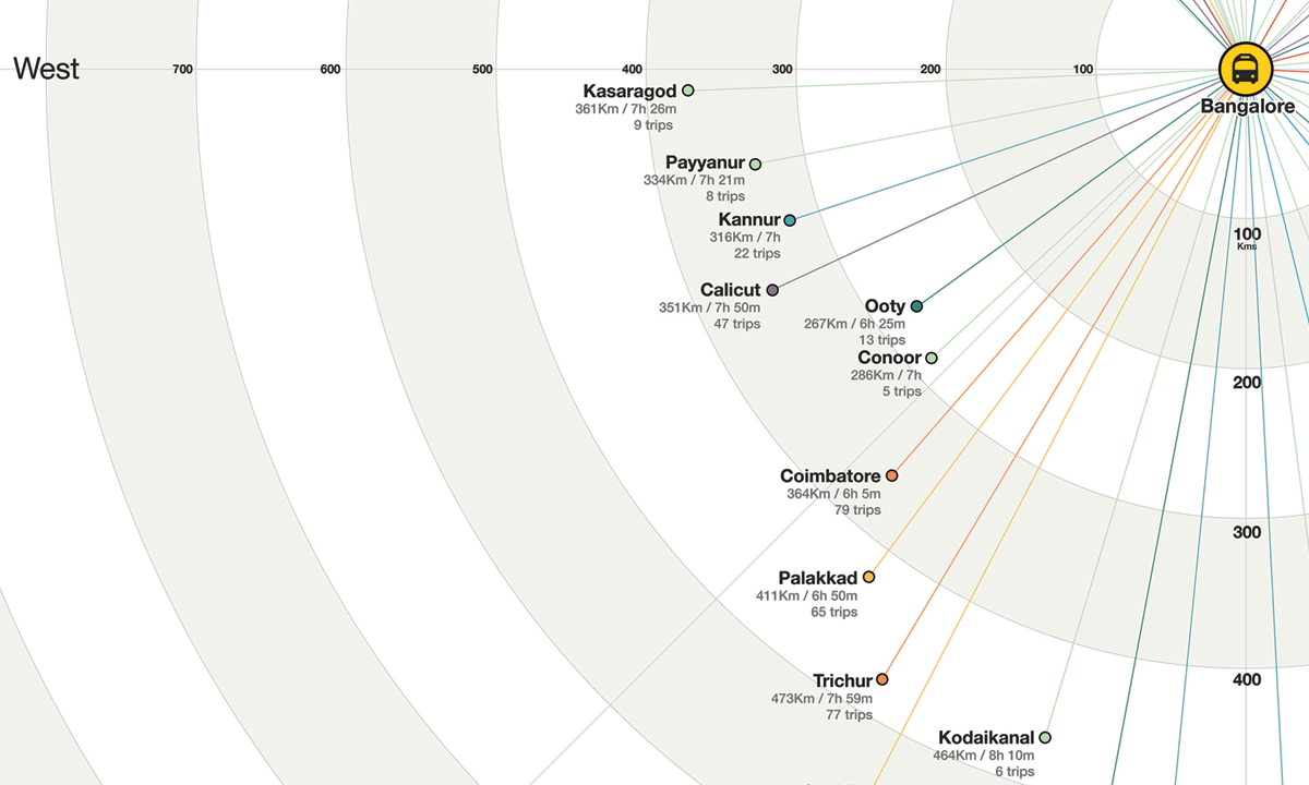
1. All the major inter -state routes from Bangalore were listed on an excel sheet. Each destination was plotted on google maps. The location, distance and time data were captured.
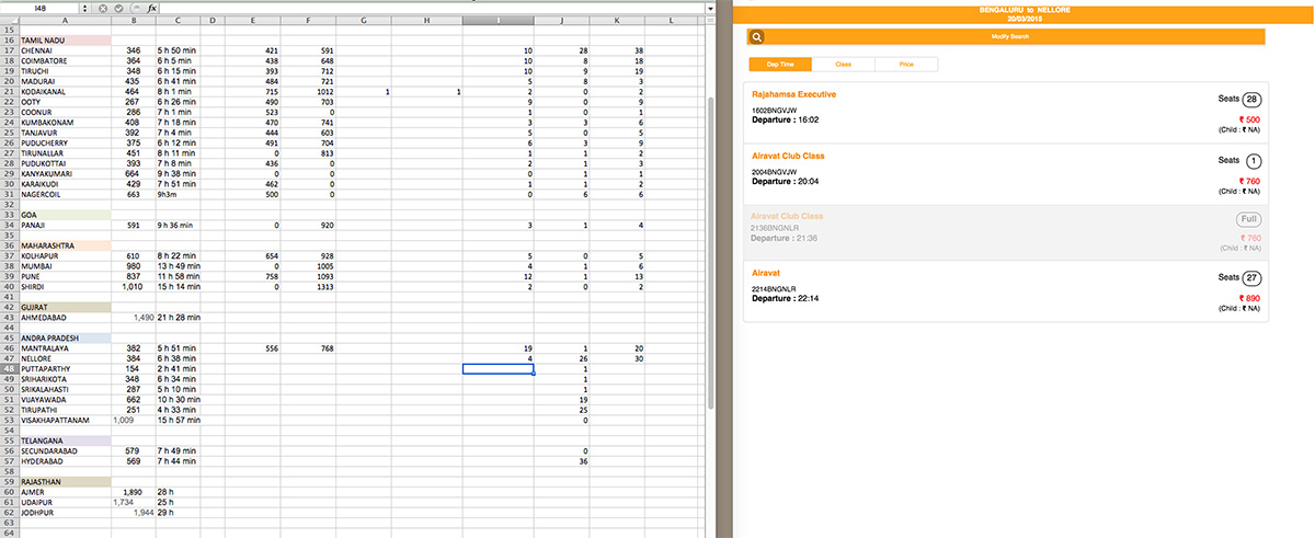
2. Number of trips on each route, bus type and price data were captured from
- State transport website
- KSRTC time table
- Private online booking sites (Eg: Redbus)
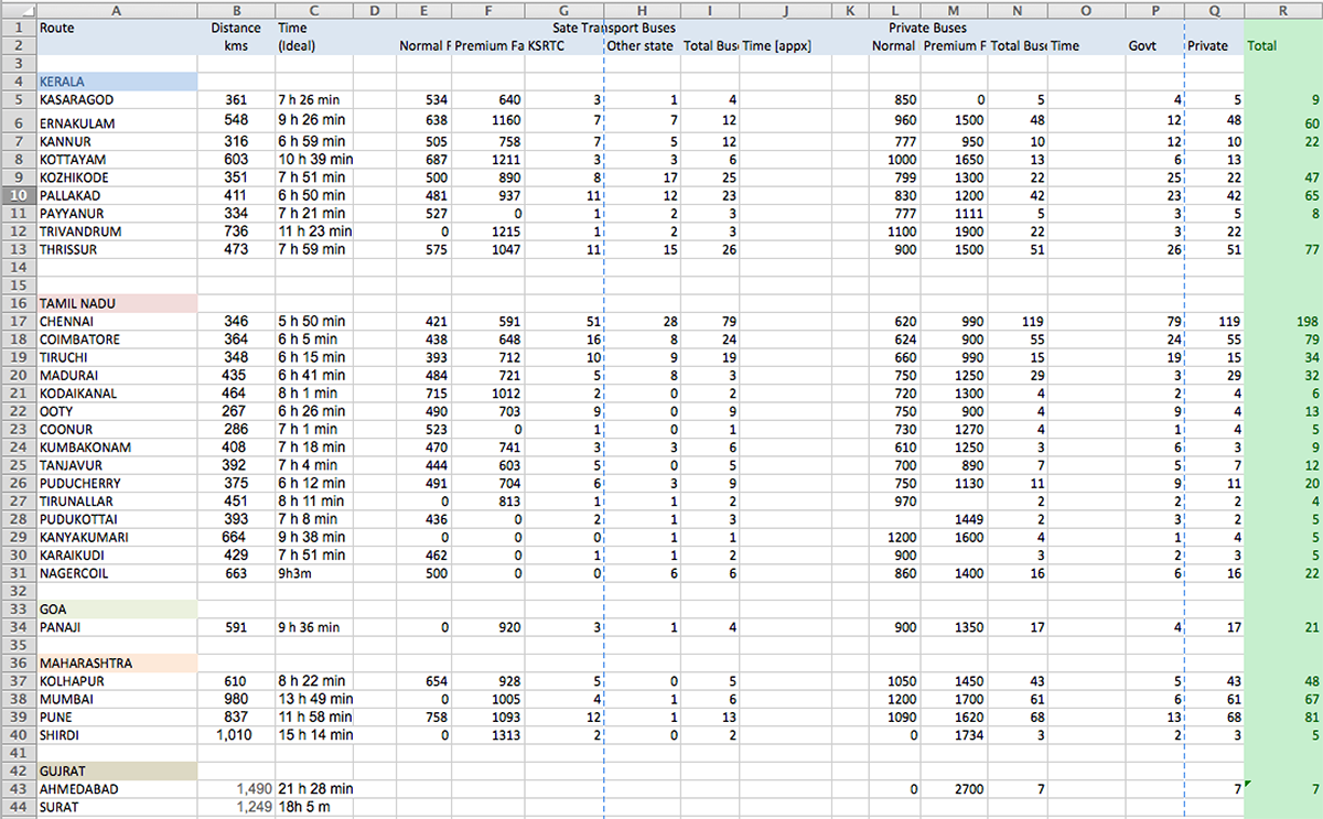
3. This was repeated for each city and the data was grouped statewise. All the data was consolidated as shown.
4.. The data-visualization explorations were done on paper and one option was converted into a poster.
Final Poster – Printed on A1 Sheet.